Why Spring Frost Dates Vary Widely Across North Carolina
Spring frost dates can differ sharply between North Carolina gardens that are not far apart. Mountains, coastal influence, valley shape, slope, and even nearby buildings change how quickly a site cools. Understanding those differences helps you interpret frost calendars, choose a safer planting window, and avoid treating a regional average as a guarantee for your yard.
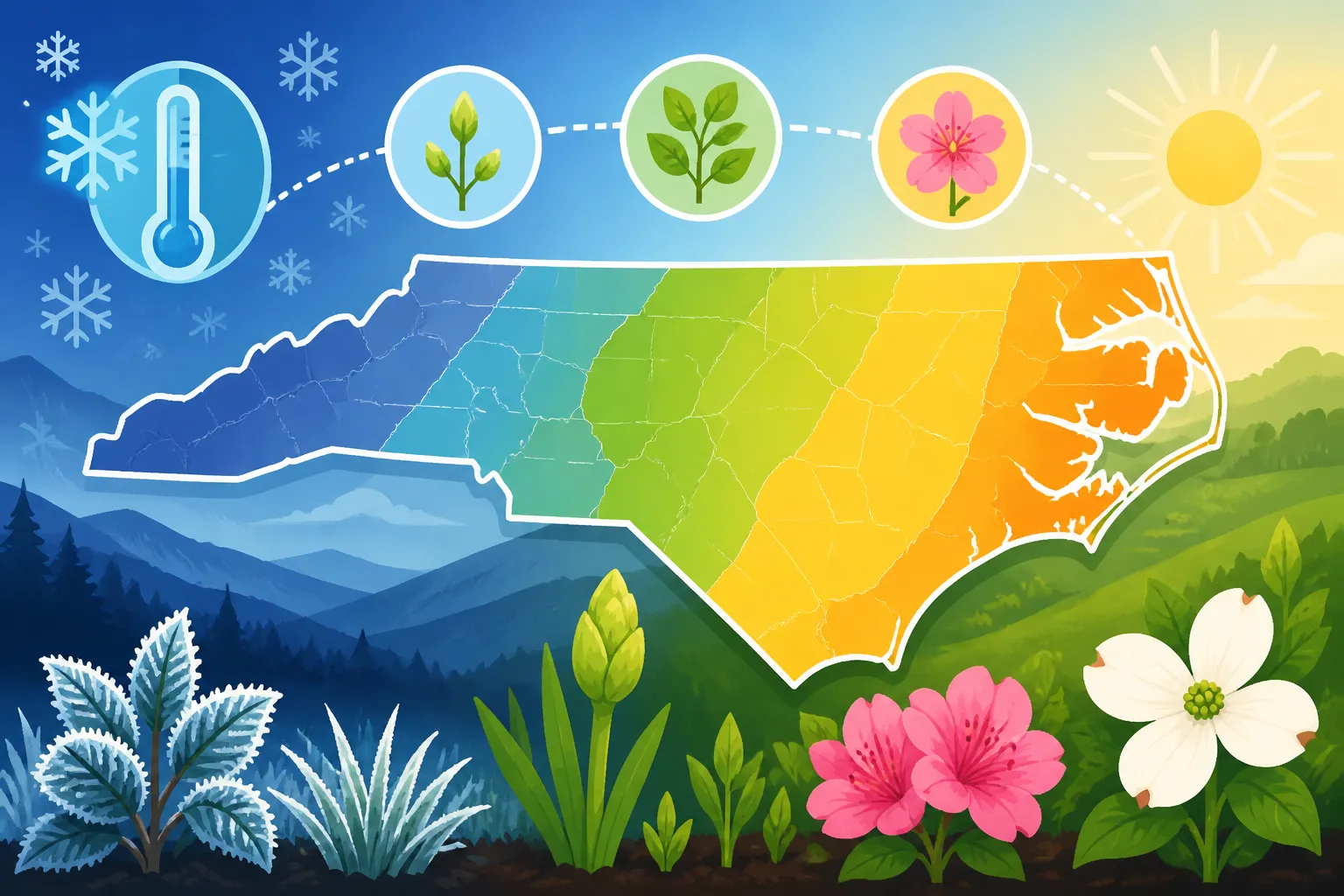
Why North Carolina does not have one spring frost date
A frost date is not a statewide appointment that spring keeps. It is a way to describe the usual timing of a cold event for a particular place or weather station. Since North Carolina contains coast, lowlands, rolling terrain, foothills, and mountains, one location’s frost pattern may be a poor fit for another.
The familiar idea of a “last spring frost date” can also hide what the date means. It usually refers to a statistical estimate, not a promise that frost cannot happen afterward. A spring cold snap may arrive later than expected, while many other years bring no frost on that date at all. The timing shifts from year to year as weather patterns change.
Conditions can vary within a region, too. A garden on a sunny, sloping site may warm sooner than a garden in a nearby low spot. A sheltered area beside a building may stay warmer overnight, while an exposed patch of open ground can cool quickly. A local frost date is therefore best understood as a regional starting point, not a precise prediction for every yard.
The map used for a planting decision matters as well. USDA plant hardiness zones describe the pattern of winter low temperatures, not the date of the final spring frost. NC State Extension describes North Carolina’s zones as ranging from 6a in the mountains to 8a on the coast; check the USDA 2023 map for a specific location, since zones vary locally. That wide range helps show why the state’s climates differ, but a hardiness zone does not tell you whether a tender vegetable is safe to set out this week.
For a broader view of local timing, compare the region-specific context in North Carolina Planting Regions: Coastal, Piedmont, or Mountain? with the seasonal framework in North Carolina Spring and Fall Planting Schedule Overview. Those perspectives are more useful than assuming a single date applies across the state.
How elevation and landforms change frost risk
Elevation is one of the most visible reasons spring frost dates vary. Higher ground tends to have a cooler climate than lower ground nearby. That does not mean every high site will frost before every low site on every night, but it does help explain why mountain gardens often need a different planting strategy from coastal ones.
Mountains and high-elevation sites
Mountain locations can stay cool later into spring, and their landscape creates many small climate zones. A garden on a ridge, a shoulder of a slope, or a sheltered valley floor may experience different overnight lows even when those sites share the same broad regional climate.
The direction and shape of a slope matter. A site that receives good morning sun can warm more quickly after a cold night. A shaded slope may remain cool longer. Narrow valleys can also trap cold air, especially when the night is clear and calm. That means “mountain garden” is not one uniform condition: elevation and the garden’s position on the land both matter.
Mountain planting decisions benefit from treating a local date as a cautious guide and checking the actual forecast as the planting window approaches. If a frost-sensitive crop is going into the garden, consider whether the bed is in a cold-air pocket or on a site that drains air downhill. A nearby weather station may not reflect those details. The article How Elevation Changes Last Spring Freeze Timing in Western NC explores why elevation changes the local calendar, while Protecting Mountain Garden Crops from Lingering May Chills focuses on what to do when cold weather threatens plants already in the ground.
Piedmont hills, ridges, and valleys
The Piedmont’s rolling terrain also creates meaningful differences between nearby sites. A ridge may be more exposed to wind, while a low hollow can collect cool air. The same garden can have warmer and cooler patches depending on slope, shade, and nearby obstacles.
Cold air tends to move downhill and gather in low places when weather conditions allow it. That makes a flat-looking yard at the bottom of a slope potentially colder than a slightly higher bed nearby. A low area may also remain damp longer, which can affect how quickly soil warms and how well seeds establish. These patterns can make a countywide or regional frost date look too early for one yard and too late for another.
When comparing planting advice, look for information that matches the landscape rather than relying only on a city name. A station near a ridge, airport, or built-up area may not match a sheltered garden hollow. Why Spring Frost Dates Vary Widely Across North Carolina is a state-level overview, and How Ground-Level Freezes Impact Spring Planting in North Carolina explains why a garden’s surface conditions can differ from a reported air temperature.
Coastal influence and inland distance
The coast has a different relationship with temperature than inland areas. Large bodies of water warm and cool more slowly than land, so nearby coastal locations may experience a different seasonal temperature pattern from places farther inland. That moderating influence does not eliminate frost risk. Cold air can still reach coastal areas, and local exposure can make a particular garden more vulnerable than its regional reputation suggests.
Conditions also change as you move inland. A coastal planting calendar may reflect a longer or earlier growing opportunity than a schedule for an inland location, but the transition is gradual and does not follow a single sharp boundary. A garden’s distance from the water, exposure to wind, and surrounding land can all shape its experience.
This is why a date described as suitable for the coast should not automatically be applied to a Piedmont or mountain garden. Coastal North Carolina Spring Planting: Moving Ahead of Inland Dates looks at the coastal side of that contrast, while Mountain vs Coastal Frost Dates in North Carolina considers how those regions differ in spring freeze timing.
| Landscape or setting | How it can affect spring frost risk | What to check before planting |
|---|---|---|
| Higher mountain site | Cooler local conditions can delay safe planting for tender crops | Elevation, slope position, local forecast, and nearby frost patterns |
| Valley or low hollow | Cold air can settle in low areas on suitable nights | Whether the bed sits below surrounding ground or behind an obstruction |
| Piedmont ridge or slope | Exposure, sun, and air movement can create a different pattern from a nearby hollow | Slope direction, wind exposure, shade, and overnight forecast |
| Coastal location | Water can moderate temperature patterns, but frost is still possible | Distance from the coast, wind exposure, and local conditions |
| Built-up neighborhood | Buildings and paved surfaces can change local temperatures | Whether the garden is sheltered or exposed compared with the weather station |
The table describes tendencies, not guarantees. A particular weather setup can override the usual pattern. Use the local landscape to judge whether a regional estimate may be too optimistic or too cautious for a specific bed.
What happens on a frost night
Understanding how frost forms helps explain why a general spring date cannot predict the condition of every plant. A forecast reports conditions for a broader area, but the temperature at leaf level can vary with the site, the sky, wind, and the plant’s position.
Clear, calm nights and cold-air pooling
On a clear night, the ground and objects near it lose heat to the sky. With little wind to mix the air, temperatures close to the ground can fall substantially. Cold air is denser than warm air, so it can drain downhill and collect in low spots. This is one reason a garden at the bottom of a slope can be colder than a nearby garden higher up.
The effect is often strongest in enclosed or sheltered locations where cold air cannot flow away easily. A fence, dense hedge, wall, or other barrier may interrupt that flow. The result can be a pocket of colder air within an otherwise milder yard. A bed beside the barrier may face a different risk from an open slope just a short distance away.
This pattern also explains why a frost can surprise gardeners when the daytime forecast feels mild. Sunny afternoons do not prevent the surface from cooling quickly after sunset. A forecast that describes a regional low may not capture the coldest point in a garden.
Wind, clouds, and different kinds of cold
Wind and cloud cover influence how temperatures change overnight. Clouds can limit heat loss from the ground, while wind can mix air layers and reduce the sharp temperature differences that develop on calm nights. These effects are not a guarantee of safety. A broad outbreak of cold air can bring damaging conditions even when the local pattern is not a calm, clear frost night.
For gardening, the practical point is that “frost risk” can arise from different weather situations. A light frost in a sheltered, calm setting may affect exposed leaves differently from a prolonged freeze with cold air and wind. The forecast’s low temperature, wind, cloud cover, and duration of cold all matter. A single calendar date cannot include those details.
When cold is forecast, use current local information rather than assuming a date has passed and the danger is over. The difference between a brief dip and sustained cold can matter as much as the regional frost estimate. Understanding Light Freezes vs Damaging Killing Freezes in NC discusses that distinction, and Protecting Tender Crops During Late North Carolina Spring Freezes covers ways to reduce exposure when a late cold spell threatens.
Frost on a surface is not the same as a regional air reading
A weather report and a plant’s immediate surroundings are not always measuring the same thing. Temperatures near the ground and around leaf surfaces can differ from the air temperature reported for a broader location. A sheltered low bed may cool more than an exposed spot where a station gathers data. Conversely, a garden close to a building may stay warmer than an open station site.
Frost can form on a plant surface even when the temperature reported for the surrounding area does not seem severe. The reverse can also happen: a low air temperature does not necessarily mean every plant in every corner of the yard has the same exposure. The plant’s height, proximity to the soil, shelter, and contact with cold surfaces all affect what it experiences.
That is why gardeners should avoid treating a forecast temperature as a perfect description of the entire yard. It is useful information, but local observations matter too. Keep track of which part of the garden frosts first, where frost lingers, and which places warm earliest after sunrise. Over time, that simple record can make a regional planting guide much more useful.
Why a frost calendar and a hardiness zone answer different questions
Frost dates and hardiness zones are both useful, but they describe different parts of a plant’s environment. Confusing them can lead to planting decisions that are poorly timed.
A frost date is about the seasonal chance of a spring or fall cold event at a location. Gardeners use it to estimate when plants might encounter frost and to plan sowing or transplanting. Its usefulness depends on how closely the date’s source matches the garden’s climate and what probability or period the source is describing.
A hardiness zone is about the coldest winter temperatures typical of an area, rather than the timing of the last spring frost. A plant may be able to survive the winter in a particular zone and still be damaged by a late spring frost after it has started growing. A zone also cannot tell you whether the soil has warmed enough for a seed to germinate well.
Think of the two as separate screening tools. The zone helps assess whether a plant is broadly suited to winter conditions. The frost calendar helps estimate the seasonal window for outdoor planting. Neither tool measures every local feature of a yard, and neither replaces the forecast when a cold night is approaching.
For help checking the zone associated with a place, see Finding Your North Carolina Hardiness Zone Using USDA ZIP Codes. For planting decisions, pair that information with regional timing and soil conditions, as described in Frost Dates vs Soil Warmth: When to Plant in North Carolina. A plant’s winter tolerance, spring frost sensitivity, and preferred soil temperature are related considerations, but they are not interchangeable.
How to use regional frost information for planting
A useful planting decision combines more than one signal. Start with the broad regional pattern, then consider your site, the crop, the soil, and the forecast. This approach gives you a practical window rather than a date to obey blindly.
Match the reference point to your garden
Use a frost-date source that is as local as possible. A regional calendar is a helpful first step, but a weather station located in a different elevation, terrain, or coastal setting may not reflect your garden. If you compare more than one source, check whether each one represents the same kind of date and the same local area.
A useful local record does not need to be elaborate. Note when frost occurs in different parts of your yard, where it appears first, and whether it is a surface frost or a broader cold event. Record the weather conditions that seem relevant, such as cloud cover, wind, and whether the ground is open or sheltered. The purpose is not to build a scientific station; it is to notice the repeatable patterns that affect your planting choices.
If you have recently moved, do not assume that a neighbor’s planting schedule will fit your lot exactly. The neighbor may have a different slope, shade pattern, windbreak, or proximity to pavement and buildings. Ask about the area’s general timing, but compare it with the physical features of your own site.
Consider what you are planting
Different crops respond differently to cold. Cool-season crops can tolerate cooler conditions than tender warm-season vegetables, although tolerance depends on the crop’s stage and the severity and duration of the cold. A seed in the soil, a hardened-off transplant, and a newly emerged seedling may not respond in the same way.
A calendar date that feels comfortable for one crop may be risky for another. When using a planting schedule, check whether it addresses direct sowing or transplanting, and whether the crop is considered cool-season or warm-season. That distinction is especially important in spring, when a run of warm days can tempt gardeners to move tender plants outside before the risk has passed.
North Carolina Cool-Season vs Warm-Season Vegetable Guide helps distinguish the broad crop groups. For the transition from indoor growing to outdoor conditions, When Is It Safe to Move Seedlings Outdoors in North Carolina? offers more focused timing considerations. A planting calendar can help narrow the window, but it cannot make every crop equally safe on the same day.
Check soil warmth as well as frost risk
A garden can be past its usual frost period and still have soil that is too cool for a warm-season crop to establish well. Cold soil can slow germination and root growth, leaving plants stressed even when the air seems mild. For direct-sown seeds, soil conditions are central; for transplants, root-zone temperature and the forecast both matter.
Soil warms at different rates depending on sunlight, moisture, texture, and whether the bed is raised or in-ground. A sunny, well-drained bed may warm more quickly than a shaded or wet one. Mulch can also influence how quickly the surface warms, depending on when it is applied and the conditions beneath it. Do not use a mild afternoon as proof that the soil has reached a suitable temperature.
For additional guidance, compare Why Soil Temperature Outperforms Spring Calendar Rules in NC with Checking Soil Temperatures for Warm-Season Garden Starts. Those topics help explain why a frost-free forecast is not the only condition that matters for summer crops.
Use the forecast near planting time
A calendar gives planning context; the forecast helps with immediate decisions. As the planting window approaches, check local forecasts for expected lows and cold-weather alerts. Pay attention to how long cold is expected to last and whether the forecast suggests a brief dip or a broader cold event. Conditions can change, so reassess when planting is close rather than relying on an estimate made well in advance.
If you have already planted, the forecast can help you decide whether to protect vulnerable plants or delay setting out additional transplants. Protection methods are not equally effective in every situation, and their success depends on the cold event, the material used, and how securely plants are covered. For specific methods, see Managing Early Sown Seedlings During Late Cold Snaps and How to Shade Transplants and Seedlings During Southern Heat Waves when the challenge shifts from cold to heat.
Common mistakes when interpreting spring frost dates
Even a well-made frost calendar can be misused. These errors are easy to make because a date looks exact on a page, while the conditions behind it are variable.
Treating the date as a guarantee
A frost date is not a promise that the last frost has passed. It represents a probability or statistical pattern, depending on the source. The probability matters: a date associated with a more cautious risk level will differ in meaning from one based on a different level of risk. Always check how a calendar defines its dates before using them to plan tender crops.
If the source does not explain the probability or period, treat the date as a rough planning reference rather than a safety cutoff. A forecast can still bring an unusually late cold event. That is why gardeners who cannot risk losing a tender planting may choose to wait, protect the plants, or set out only part of the crop at first.
Assuming a nearby town is a perfect match
A nearby town name can be convenient, but a place label does not tell you the station’s elevation, terrain, exposure, or surroundings. An airport station may be on open land, while a home garden may be enclosed by trees. A neighborhood near water may have a different temperature pattern from a site farther inland.
Choose a reference point by climate and setting, not just by distance. If possible, compare the station’s surroundings with your own. A station with similar elevation and exposure may be more informative than one that is geographically closer but sits in a different landscape.
Confusing a warm spell with the end of frost risk
A stretch of warm weather can make spring feel settled. It can also encourage early sowing or transplanting. But a temporary warm period does not prove that the season’s coldest nights are over. Plants that begin active growth may be more vulnerable to a later frost than dormant plants.
The practical response is not to avoid planting until every risk disappears. That may sacrifice a useful growing window, particularly for crops that prefer cool conditions. Instead, match the crop to the risk, stagger plantings where practical, and keep a plan for vulnerable plants when forecasts turn cold.
Using a hardiness zone as a planting calendar
A winter zone does not tell you when to plant tomatoes, beans, or other warm-season crops. It does not account for the exact frost timing at a garden, and it does not measure spring soil temperature. Use the zone to help judge winter survival, not as a substitute for seasonal timing.
Similarly, a frost-free date does not guarantee that a plant will thrive. Soil warmth, sunlight, drainage, and the crop’s temperature needs remain important. A date can indicate that one risk has become less likely without resolving every other planting question.
Ignoring the coldest part of the yard
Gardeners often make planting plans based on the warmest or most convenient bed. Yet a low corner, a north-facing slope, or an area sheltered by a barrier may hold cold longer. If those areas are planted at the same time as a warmer bed, tender crops may be exposed to unnecessary risk.
Map your yard informally. Watch where frost forms first and where it disappears last. If a location repeatedly stays colder, use it for crops that can tolerate cool conditions or delay tender plantings there. A simple adjustment to where and when you plant can be more effective than trying to make every bed follow the same schedule.
A practical way to plan around local variation
There is no need to predict every frost event to make sound planting choices. The goal is to combine regional information with what is known about the yard and the crop, then adjust when the forecast changes.
Start by identifying whether your garden is best described as coastal, Piedmont, foothill, or mountain, while remembering that those broad categories do not describe every site. Consider whether the bed is high or low, exposed or sheltered, sunny or shaded, and close to a body of water or a built-up area. These factors help you decide whether a regional date may be too early or late for your location.
Next, look at the plant. A cool-season crop may be ready for outdoor conditions while a tender crop still needs warmer weather. A plant’s ability to survive winter does not necessarily mean its new growth can tolerate a spring freeze. Seeds and young transplants may also need different conditions from established plants.
Then consider the soil. If the crop depends on warm soil, a frost-date estimate alone is not enough. Check soil temperature where relevant, and account for whether the bed is wet, shaded, or slow to warm. A warm afternoon can be misleading if the soil remains cold.
Finally, check the forecast close to planting. If a cold night is expected, decide whether to wait, cover, or plant only where you can manage the risk. Keep in mind that protection can reduce exposure but cannot guarantee that a plant will escape injury in every weather event.
This combined approach makes the frost calendar more useful. Rather than asking, “Has the statewide frost date passed?” ask, “What is the risk at this site, for this crop, under the forecast conditions?” That question fits North Carolina’s varied landscape much better.
Frequently Asked Questions
Does the coast never get spring frost?
No. Coastal influence can moderate temperature patterns, but it does not eliminate frost risk. Local cold air, exposure, and the particular weather pattern still matter.
Is a hardiness zone enough to choose a planting date?
No. A hardiness zone describes winter temperature patterns, not the timing of the last spring frost or the temperature of garden soil. Use it alongside regional frost information, crop needs, and the forecast.
Why can two nearby gardens have different frost experiences?
Differences in elevation, slope, cold-air drainage, shade, wind exposure, and nearby structures can create distinct conditions. A low, sheltered bed may cool more than an open slope nearby.
Should tender crops go out as soon as the local average date passes?
Not automatically. The date is a planning reference, not a guarantee. Check the forecast, assess your garden’s cold spots, and consider whether the soil and crop are ready.
Disclaimer
This article is for general informational purposes only and does not constitute professional advice. Laws, prices and regulations vary by location and change over time. Consult a qualified professional for guidance on your specific situation. North Carolina Gardening Guide is not a government agency and is not affiliated with any university extension, state department of agriculture or other government agency.